Maps
Maps have long been instruments of power, but their role reached an unprecedented level of strategic importance during the First and Second World Wars. As industrial warfare scaled up in lethality and geographical scope, traditional hand-drawn sketches and crude regional diagrams were replaced by highly specialized, scientifically precise cartography.
In World War I, trench warfare required maps of astonishing accuracy; cartographers utilized aerial photography for the first time to map enemy trench networks, artillery emplacements, and barbed wire lines, allowing commanders to synchronize devastating artillery barrages with infantry advances. By World War II, the theater of conflict had expanded across entire continents and oceans, turning cartography into a global science.


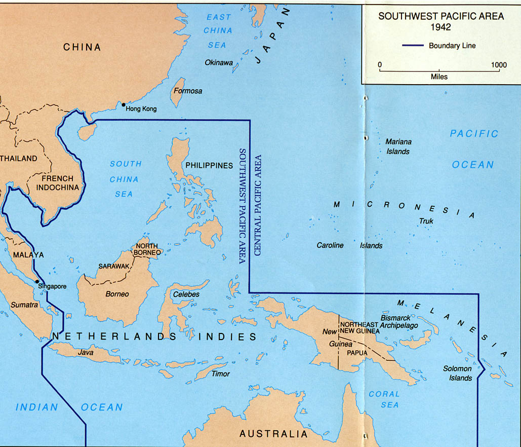


Specialized maps were produced by the millions, ranging from detailed urban plans for street-by-street combat in ruined European cities to bathymetric charts essential for amphibious invasions like D-Day.
Intelligence agencies meticulously crafted maps for resistance fighters and downed pilots, often printing them on silk so they could be easily concealed, waterproofed, and silently folded without rustling. Ultimately, maps in the world wars were not merely passive representations of terrain; they were vital tactical weapons that dictated the movement of armies, shaped the outcomes of battles, and fundamentally altered the course of history.